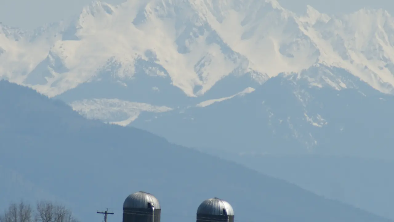
How Abbotsford’s community geography works
The City publishes demographic profiles for multiple community areas using 2016 and 2021 Census data. Those areas include Historic Downtown, City Centre, Clearbrook, Clayburn, Matsqui Prairie, Sumas Prairie, Sumas Mountain, McKee, Townline, West Abbotsford and others.
For this guide, we focus on the areas most useful to visitors and people comparing where to live, while linking to the City for the full official demographic set.
Historic Downtown
Historic Downtown is one of the most walkable visitor districts, with independent shops, cafés, restaurants, heritage character and events. It is a strong first stop for visitors and useful for residents who value local-business access.
The trade-off is that it is a compact district rather than a complete picture of Abbotsford.
City Centre and Clearbrook
City Centre and Clearbrook are practical urban areas for shopping, services, recreation and everyday life. Their strengths are convenience and access rather than a concentrated tourism identity.
These areas can be useful bases for visitors with multiple appointments, tournaments or family commitments.
Clayburn and east Abbotsford
Clayburn’s heritage village character gives east Abbotsford a distinctive historical stop. Nearby Sumas Mountain and other east-side areas create a natural connection between heritage and outdoor recreation.
Driving is usually the easiest way to combine these places.
Matsqui and the Fraser River
Matsqui Prairie and the Fraser River area provide agricultural context, dike landscapes and access to Matsqui Trail. It suits visitors who want a quieter rural setting and residents who understand the trade-off of greater distance from central services.
Seasonal weather and river conditions matter more here than in central Abbotsford.
Sumas Prairie
Sumas Prairie is productive agricultural land with a complex flood history. It is not a conventional sightseeing district, and private farmland should be respected.
For people considering rural property or farm-related activity, floodplain and agricultural regulations are important practical issues to investigate through official sources.
Mount Lehman & Bradner
West Abbotsford’s rural communities combine farms, country roads, local businesses and proximity to YXX and Highway 1. They can work well for agritourism and regional travel.
The trade-off is car dependence and longer distances between services and attractions.
How to compare areas before moving
- Use the City demographic profile for the specific area.
- Test the real commute at the time you will travel.
- Locate groceries, schools, parks, libraries and recreation.
- Visit during both busy and quiet periods.
- Review current planning and development information before making a long-term decision.
Useful current resources
Use these sources for details that can change after this guide is published.
Why the City profiles more areas than this guide
The City of Abbotsford's 2024 demographic series includes 22 profile areas, including Aberdeen, Fairfield, Hazelwood, Immel-McMillan, McKee, Peardonville, South Clearbrook, South Poplar, Sumas Mountain, Townline, UDistrict, West Abbotsford and Whatcom in addition to the places highlighted here. Our navigation focuses on areas most likely to help a visitor or general resident question, while the official profiles remain the better tool for detailed demographic research.
How to compare areas before moving
Do not make a housing decision from a tourism description. Check the immediate street, commute, school needs, transit route, grocery access, recreation, noise and future planning context. Visit at the times you would normally travel. The community pages here are a first filter, not a substitute for address-level research.